Department of Geoenvironmental Research
FIELD STATIONS - SZYMBARK
Research area
Research area is situated in NW part of the Beskid Niski Mts. (Western Carpathians, Poland), bordering on the Ciężkowice Hills on the north and on the Jasielsko-Sanockie Doły (Jasielsk-Sanok Depressions) on the east side. In physiographic terms, it is area with typical of the Carpathians characteristic features of landscape – merging two types of relief – that is, the Beskd and the Carpathian foothills, drawing on lithology and base tectonics. This feature characteristic of mountain areas is visibly manifested by vertical zones as regards vegetation, climate, soil, hyrographic conditions and the course of morphogenetic processes.
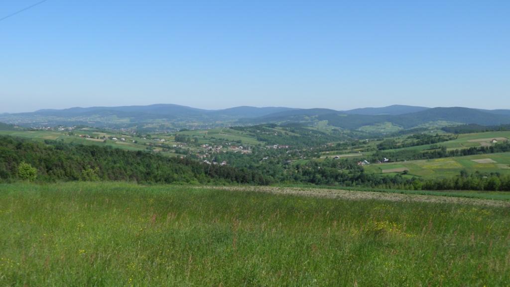
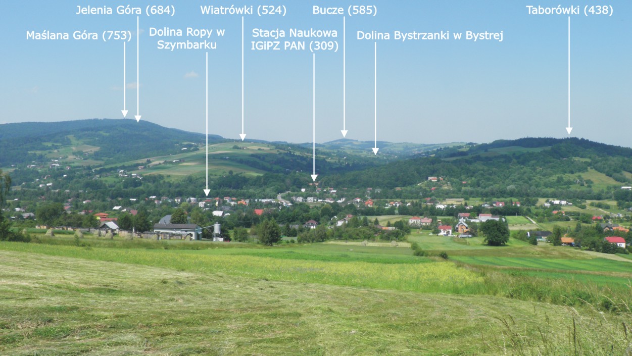
Research areas cover parts of the Ropa river catchment, with its chief tributaries: the Bystrzanka and Bielanka rivers. The gap of the Ropa valley separates the Maślana Góra range – 753m asl, the northernmost part of the Beskid Niski Mts – from the situated on the south valley of the range: Łysa Góra-Szeroki Wierch-Miejska Gora-Bartnia Góra, rising at the altitude of 630-645m asl, dissected by a deep gap of the Bielanka river valley. The Beskid ridges, dissected by deep v-shaped valleys and with patches of landslide niches, are entirely forested (lower subalpine forest). Foothill hummocks that surround the Beskid ranges are almost entirely occupied by agriculture (with small forest patches Tilio carpinetum), rising at the altitude of 450-550m asl. Flat and leveled out bottom of the Ropa river (with the remainder of the riparian vegetation) 200-500m in width, with slope inclinations of more than 30°, and in the foothills exceeding 20°, are the essential cause of intensive volume of processes which impact the natural environment of the research area.
The presented here research area is situated in the marginal part of the Magura overthrust, composed of tectonically highly disturbed formations, numerous faults and secondary undulations. The highest elevations of Beskid Mts are made up of the Magura sandstones, underlain by Eocene spotted schists. The Carpathian foothills are composed most of all of sandstone-schist, enoceramus strata with synclines of spotted schists. Such composition of strata is conducive to landslides, which cover significant part of slopes. On the loam mantles of waste, with a large share of stone fraction, various types of brown soils emerged, with mechanical composition of medium loams and clay heavy loams. On the landslide terrains, clay heavy loams dominate, and in the bottoms there occur chiefly alluvial and alluvial-delluvial soils. The area covered by research is located mainly in the moderate climate zone, with annual average temperature of 7.6°C and annual precipitation total of 818mm. The highest elevations at the altitude of more than 600m asl are in the moderately cold zone, with annual average temperature of below 6.5°C.