GIS and Cartography Workgroup
Atlas of the Republic of Poland
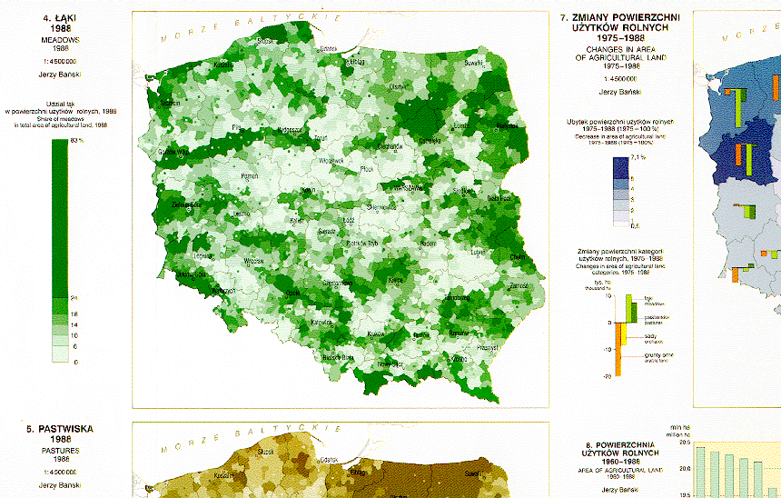
The Atlas of the Republic of Poland is most extensive, country-wide collection of cartographic work. The former Department of Cartography and Geographic Information Systems prepared the General Concept, carried out all cartographic editing and most of the technical editing, as well as co-ordination of contributions by 164 authors. 157 sheets were completed, comprising of hundreds of maps.
Foreword
Scientific Council, authors and editors
Contents Description
Table of Contents
Part I COUNTRY – TERRITORY – ORGANIZATION
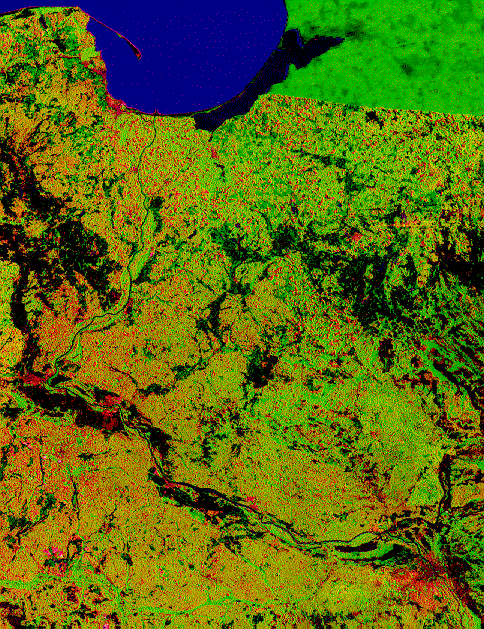
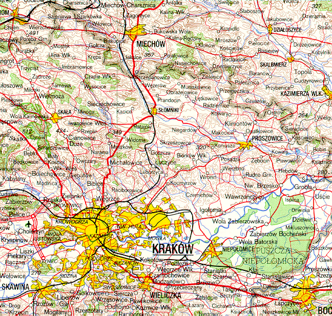
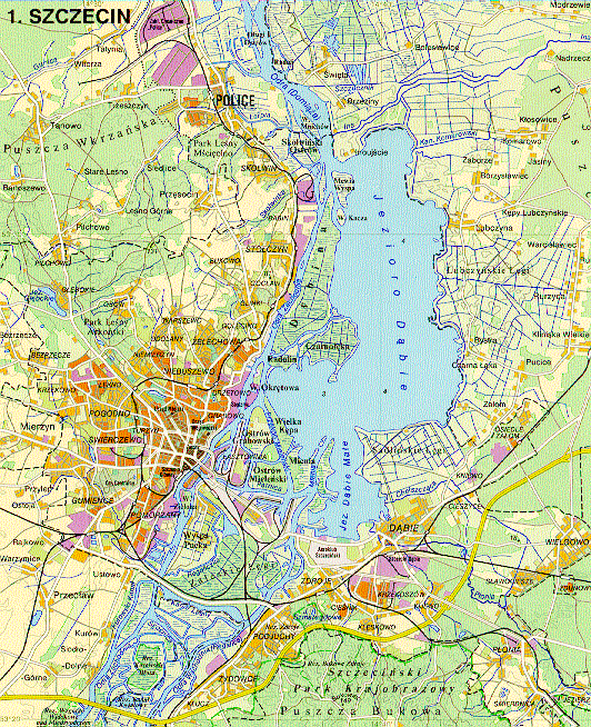
Map samples:
|
|
|
|
|
|

|
|
|