Department of Geoenvironmental Research
FIELD STATIONS - HALA GĄSIENICOWA
Research area
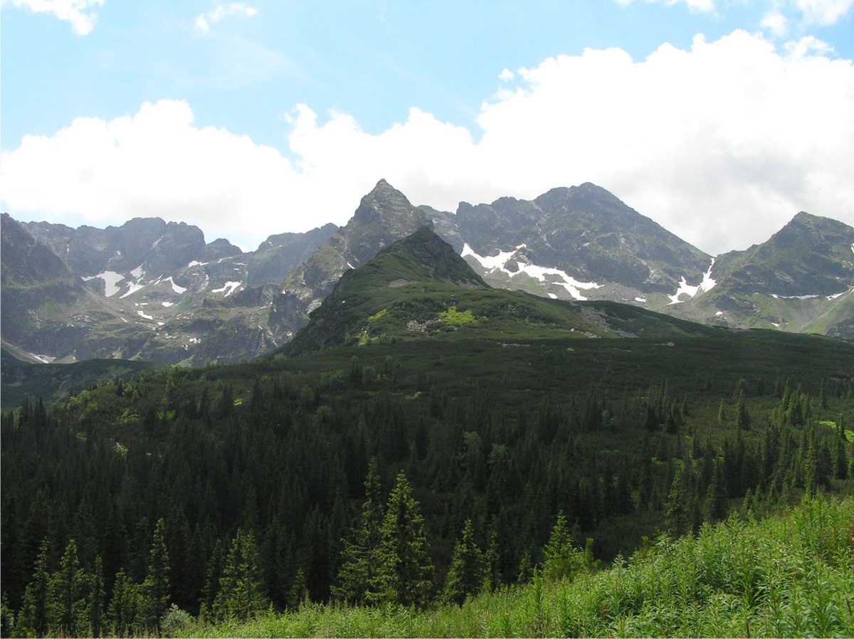
The station is located at the altidude of 1520m asl between the subalpine and forest zones. The area above the Station is situated within the crystalline basement, composed essentially of granites and granodiorites, and slightly below there are subtatric nappes that consist of mesozoic limestones, dolomites and slates. Higher up above the station, relief of the area is of alpine character, as well as being of glacial origin. Steep slopes or vertical rock faces, with talus slopes at the bottoms, raise above glacial amphitheatres, filled with lakes, or above bottoms of the valleys covered by moraine material. In the lower part of the Sucha Woda valley, there is a prevalence of denudation relief of the mid-mountain type.
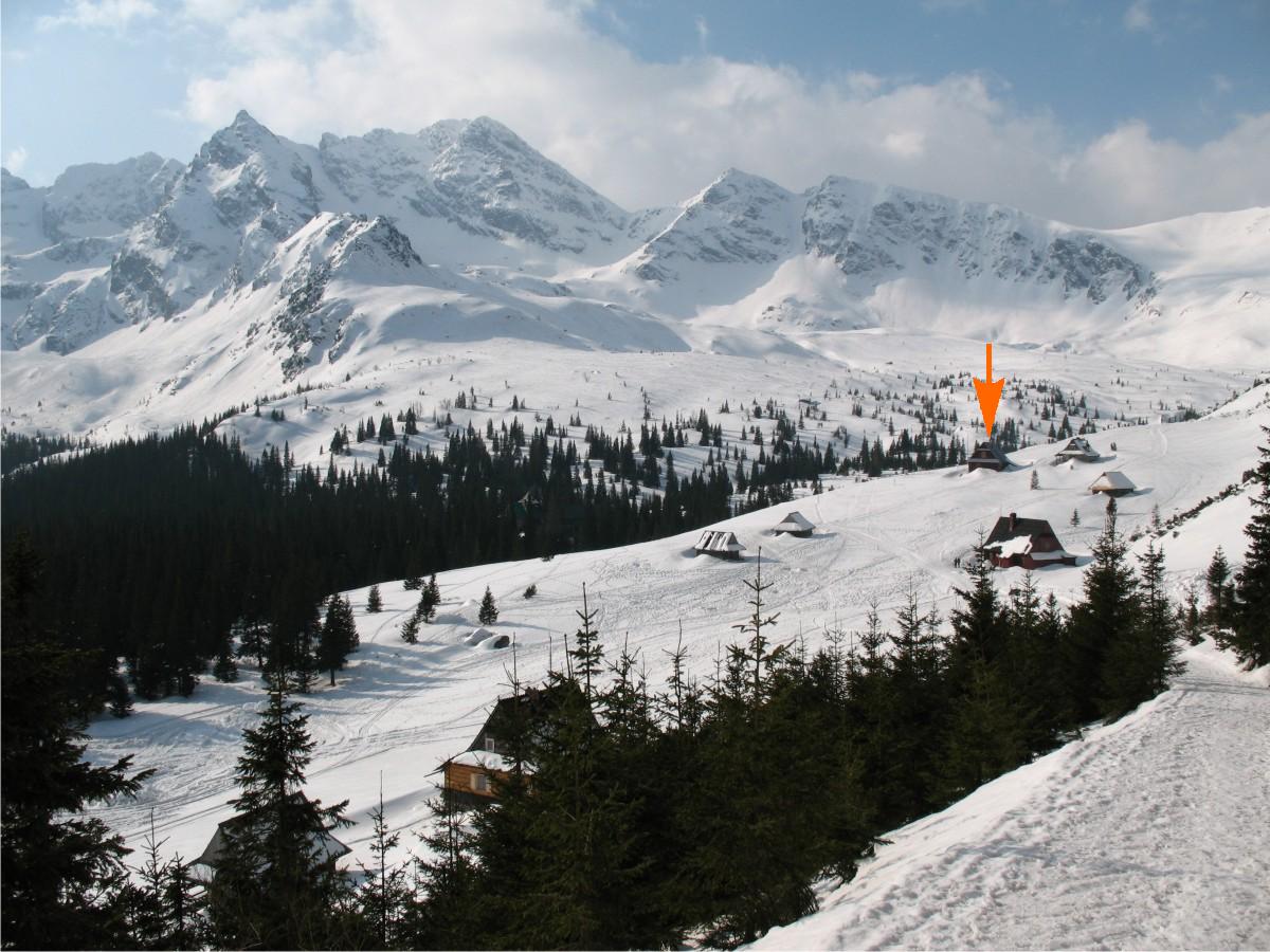
An altitude belt at the upper forest limit separates also two types of contemporary modeling of relief, which is attested by geomorphological and climatic research findings carried out in the Station’s surrounding. The area above the upper forest limit belongs to the periglacial climatic field, where the essential role is performed by the periglacial processes in the contemporary modeling (Rączkowska 1997, 2007). These processes are facilitated by thermal conditions at ground level (Baranowski i in. 2004). At the bottom and on talus slopes of the Kozia Dolinka, the occurrence of perennial permafrost was recorded (Mościcki, Kędzia 2002, Kędzia 2005).